Oahu Evacuation Ordered as 120-Year-Old Wahiawa Dam Faces Imminent Failure

Satellite view of Wahiawa Dam and Lake Wilson reservoir on Oahu’s North Shore, with Schofield Barracks and Wheeler Army Airfield visible to the south. Credit: Donald Standeford
PACIFIC — The Oahu Department of Emergency Management issued an evacuation order on Thursday for more than 4,000 residents downstream of Wahiawa Dam after the 120-year-old structure reached imminent risk of failure. The alert, issued at 8:34 a.m. local time, warned of potential life-threatening flooding and catastrophic amounts of fast-moving water in the downstream areas of Haleiwa and Waialua on Oahu’s North Shore.
The dam has not breached as of Thursday morning, but water was pouring over the spillway at approximately 1,500 gallons per second after a second Kona low weather system dropped over 13 inches of rain in approximately 12 hours beginning Wednesday evening. The National Weather Service (NWS) declared a Flash Flood Emergency, its highest-tier alert, covering approximately 138,000 people across northern Oahu.
Evacuation Zone and Shelters
The evacuation zone covers all of Haleiwa between Puuiki Street and Kamehameha Highway, and areas of Waialua between Kukea Circle and Otake Camp. The Oahu Department of Emergency Management designated the following evacuation route: Kamehameha Highway toward Wahiawa, onto Kamananui Road, then left onto Wilikina Drive.
Assembly areas are open at Wahiawa District Park, Leilehua High School, and Kahuku Elementary School. The Waialua High and Intermediate School assembly area is closed due to flood conditions in the area. Karsten Thot Bridge on Kamehameha Highway is closed, and all traffic is routed to Kamananui Road. Authorities warned residents not to use Kaukonahua Road to access Wahiawa.
Assessment: Both primary access routes to Haleiwa and Waialua are flooded, effectively cutting off the communities. Residents who have not evacuated face limited egress options if the dam condition worsens. The closure of the Waialua High assembly area further reduces shelter capacity in the most vulnerable downstream zone.
Dam Condition and History
Wahiawa Dam, built between 1903 and 1906 to irrigate sugar plantations, stands 98 feet above the stream bed and impounds Lake Wilson, a reservoir with a maximum capacity of approximately 9,200 acre-feet (roughly 3 billion gallons). The dam is privately owned by Dole Food Company Hawaii.
The U.S. Army Corps of Engineers (USACE) first warned in a 1978 report that the dam’s spillway was undersized and could not handle a probable maximum precipitation event, the theoretical worst-case rainfall scenario for the location. Hawaii’s Department of Land and Natural Resources (DLNR) issued four deficiency notices to Dole between 2009 and 2020, and the state land board fined the company $20,000, the maximum penalty under state law, in 2021 for failing to address safety concerns. Dole’s own consultants estimated spillway repairs would cost approximately $20 million.
During the first Kona low earlier in March, the reservoir level reached 82.8 feet, above the spillway level of 80 feet but below the critical failure crest of 90 feet. That event prompted an earlier evacuation notice, which was lifted on March 14 after water levels stabilized. Dole stated on March 17 that it disagreed with the city’s assessment that the dam was at risk of breaching.
Assessment: The dam’s known structural deficiencies, documented over nearly five decades without remediation, make this event more dangerous than a standard dam overtopping scenario. The combination of a second major storm system hitting already-saturated ground and an already-elevated reservoir raises the probability of failure above the March 14 event. Whether this crisis accelerates the state’s acquisition of the dam or triggers federal intervention will depend on whether the structure holds through the weekend.
Military Installations Affected
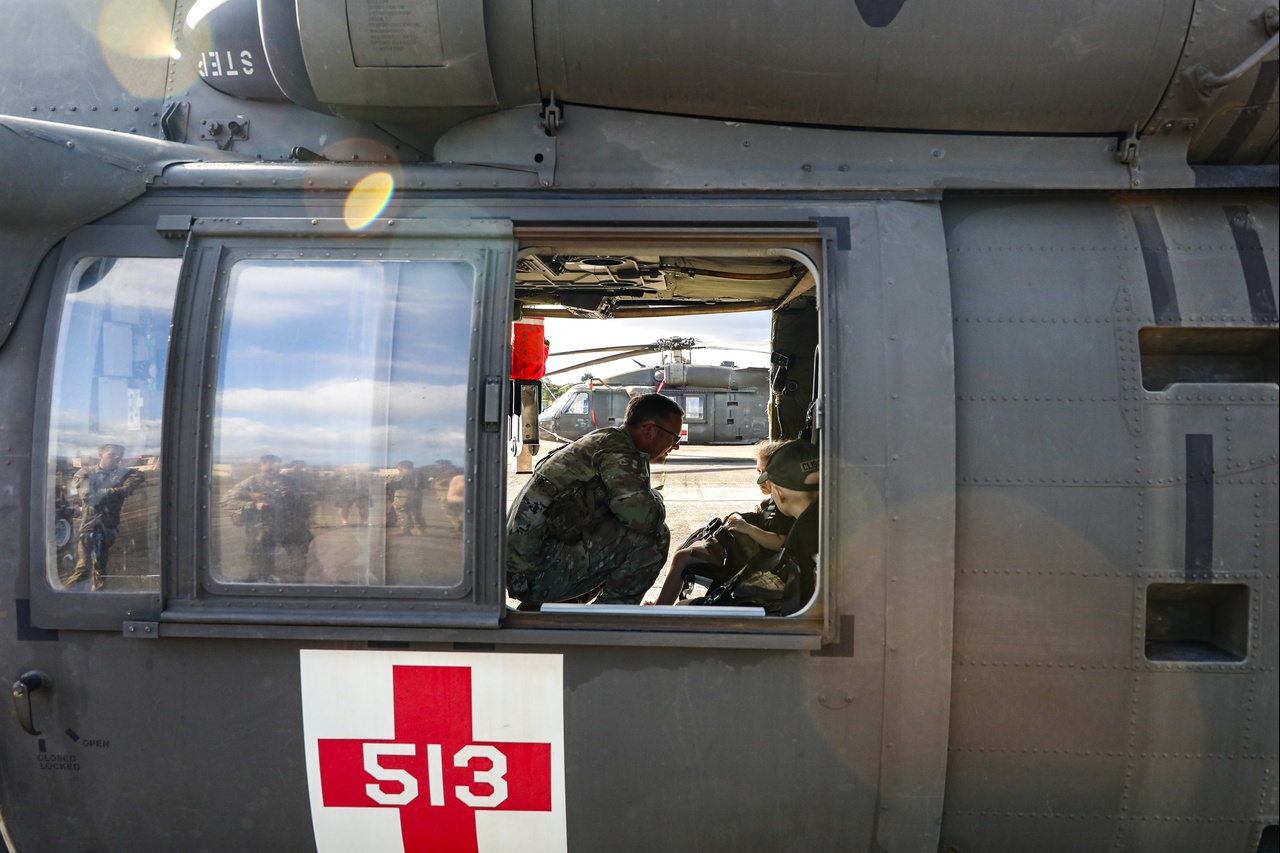
Schofield Barracks and Wheeler Army Airfield, an Army aviation base supporting helicopter operations, both located in the Wahiawa area, reported disruptions during the first Kona low earlier in March. Portions of Schofield Barracks lost power, the main exchange and food court closed, Desmond Doss Health Clinic shut down, and the main Lyman Gate closed due to flooding. Wheeler Army Airfield housing areas experienced power outages exceeding 24 hours, and U.S. Army Garrison Hawaii authorized temporary lodging allowances for affected service members. The Navy’s Wahiawa Annex, a signals intelligence and communications facility, closed to all non-essential personnel.
Assessment: The second storm system is likely compounding earlier damage at these installations. Schofield Barracks is home to the 25th Infantry Division. Any disruption to base operations during a period of heightened Indo-Pacific readiness warrants monitoring.
Government Response
Hawaii Governor Josh Green confirmed the Hawaii National Guard has been activated, with at least 90 troops deployed in the wake of the earlier storm. Green described conditions as “very serious,” with reports of chest-high floodwaters in some areas. An emergency proclamation had been issued before the first Kona low in early March.
Honolulu police, fire, and Ocean Safety crews conducted rescues using jet skis, with people pulled from rooftops in flooded areas. Approximately 70 people at a North Shore campsite were reported surrounded by water but safe. No deaths have been confirmed, though individuals were transported to Wahiawa Hospital with hypothermia. Statewide damage from the broader March storm events is projected at approximately $23 million, according to the Hawaii Department of Transportation Highways Division.
Official Statements
- Oahu Department of Emergency Management, March 20: ‘DAM/LEVEE FAILURE IN PROGRESS OR EXPECTED at WAHIAWA DAM. Potential for life-threatening flooding and catastrophic amounts of fast moving water in downstream areas. Evacuation Order issued. LEAVE downstream area NOW!’
- Hawaii Governor Josh Green, March 20: ‘Things are very serious.’
- Dole Food Co. Hawaii, March 17: Dole stated it ‘disagrees’ with the city’s assessment that the dam was at risk of breaching, but ‘recommended and strongly supported early evacuation messaging as a precautionary measure.’
Assessment: The regulatory timeline is the critical context for this event. The U.S. Army Corps of Engineers identified the core vulnerability 48 years ago, and neither the private owner nor the state has resolved it. Approximately 2,500 people live in the downstream inundation zone. The current crisis is not an unforeseen failure but the realization of a long-documented and persistently unaddressed risk.
Full Report & Analysis
The full report includes expert analysis and risk assessment.
Full Report & Analysis →